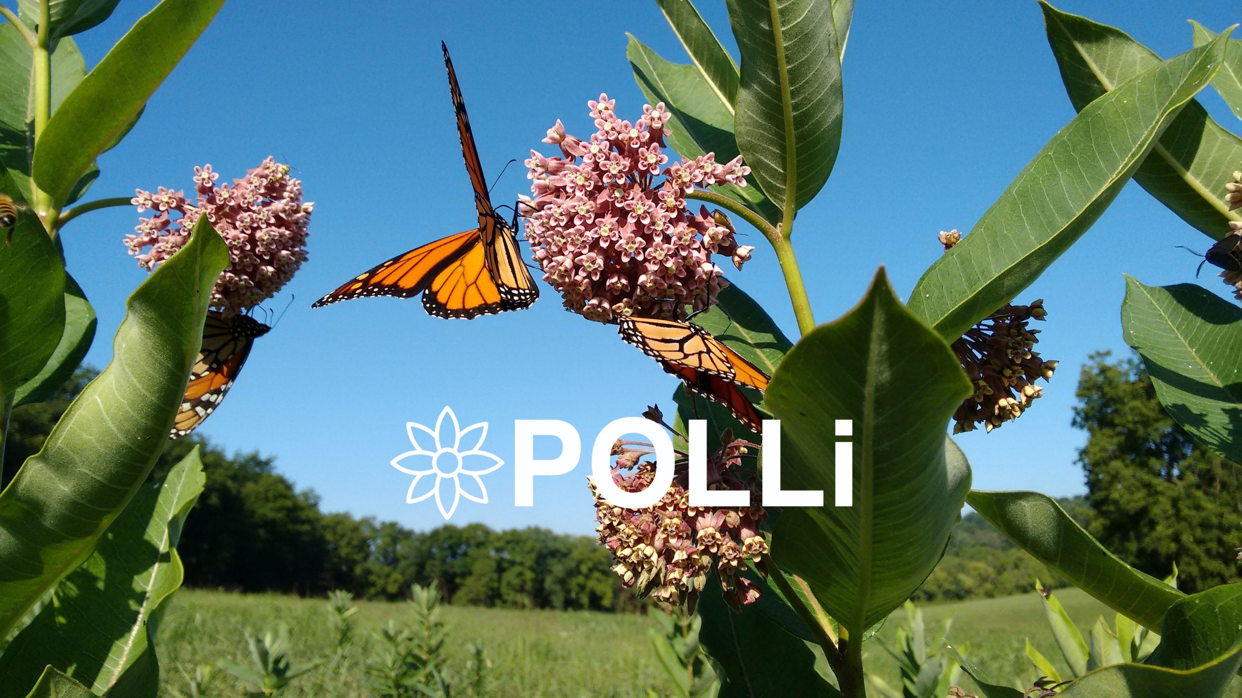
At Botlink, we see the potential drones have for
commercial applications.
Our intuitive interface empowers industries like aggregate, agriculture, construction, energy, and more, by providing real-time insights that were once out of reach. Whether you're an operations manager tracking production output and inventory, a farmer optimizing crop yields, or an energy company inspecting critical infrastructure, Botlink equips you with the tools to make informed decisions and drive productivity.
What sets Botlink apart is our commitment to simplicity and innovation. We've combined the power of drones with state-of-the-art data analysis, enabling you to turn complex data into actionable insights. Say goodbye to manual processes and hello to streamlined operations. Join us in shaping the future of industries with Botlink – where aerial intelligence meets limitless possibilities.
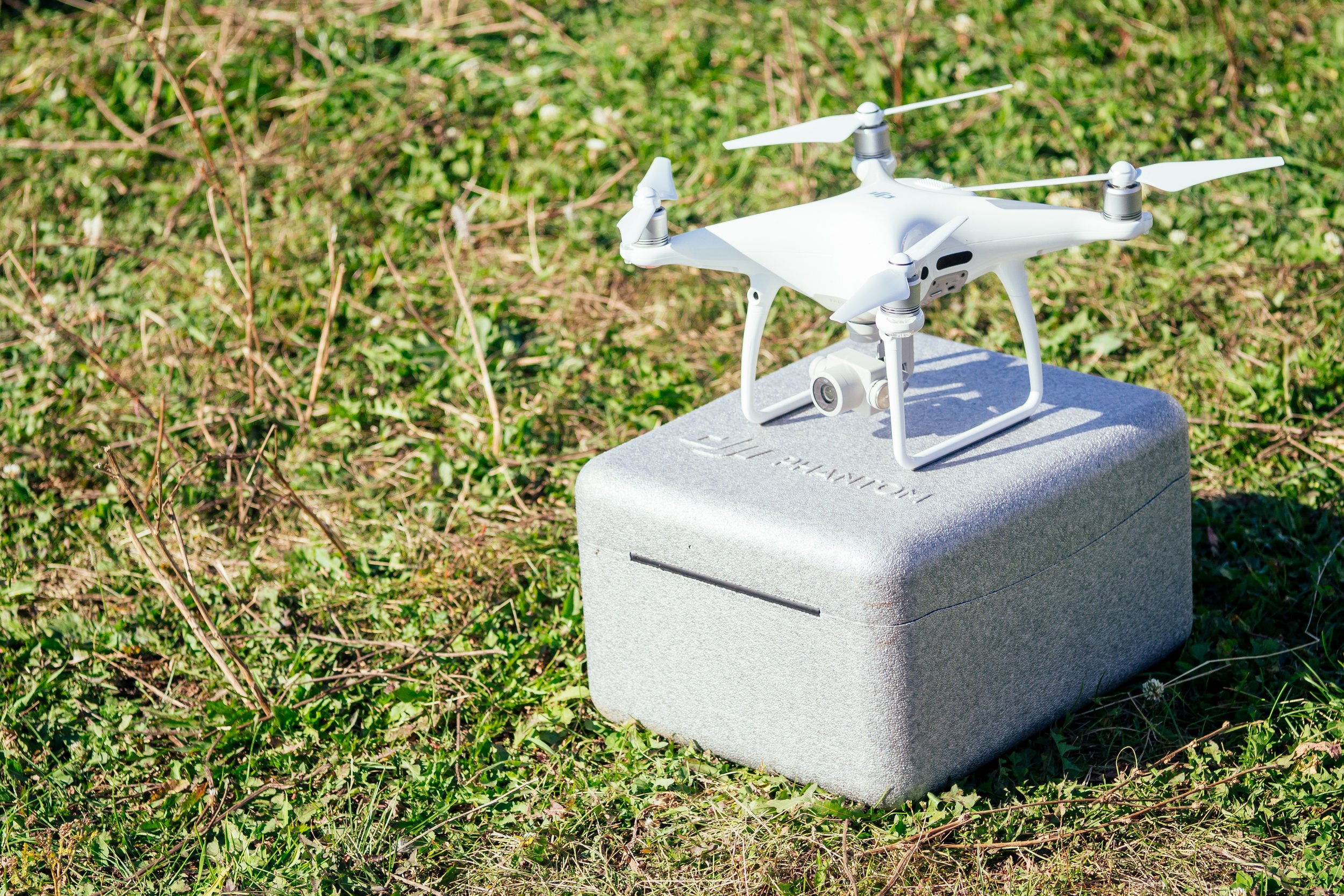
Capture
Capture high-def photos from the sky.
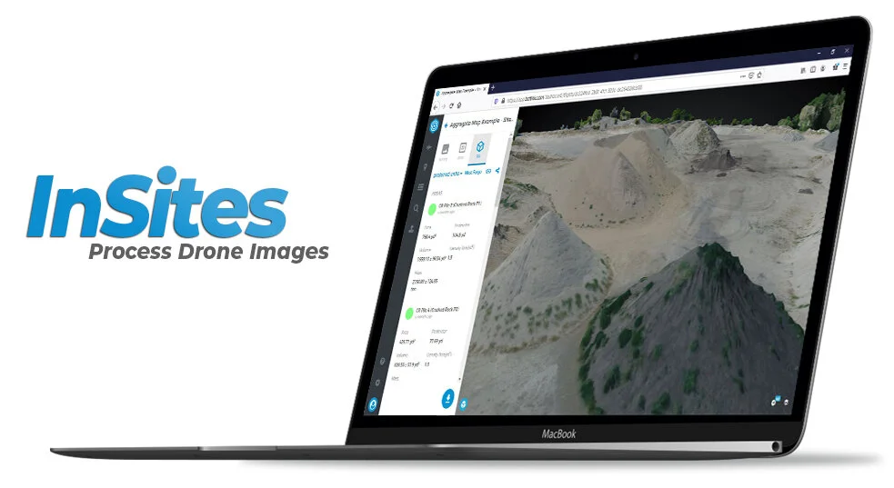
Process
Process your photos to create detailed maps.
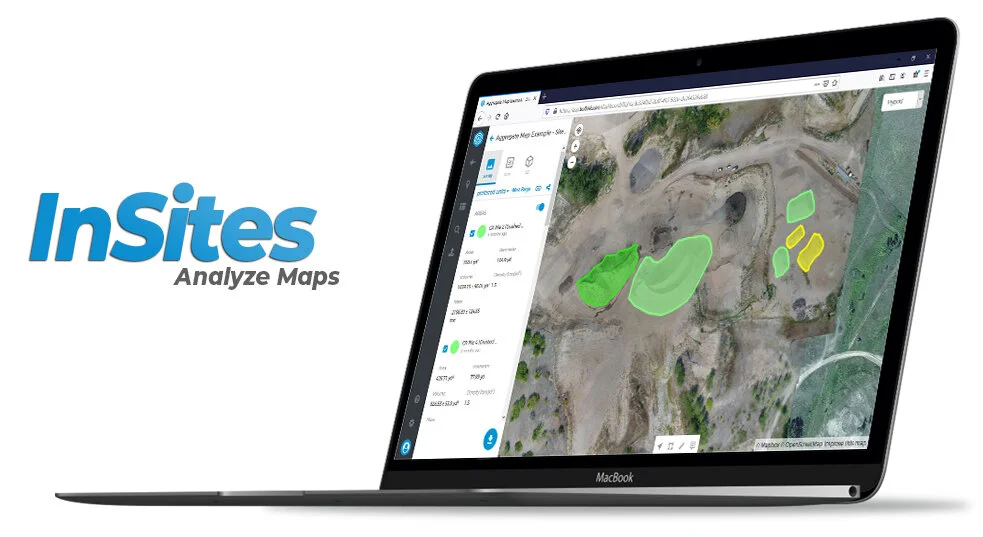
Analyze
Analyze and share your data in bold new ways.
Respond
Respond and take action in real time.
Easy to Integrate
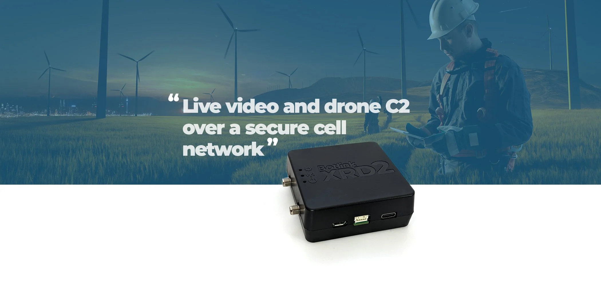
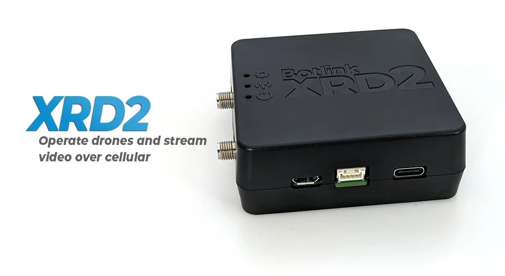
The XRD2 simply connects to existing autopilots via a JST-GH cable. The autopilot views the XRD2 hardware as just another radio. The XRD2 requires minimal power, allowing customers to use included power splitter to pull off the existing power supply.
Real-Time Video
Onboard video processing of H264 and H265 codecs allows for video resolution and FPS changes on the fly, reducing data consumption. Included FPV camera works out of the box with XRD2.
Customer Service
Designed, tested, and assembled here in Fargo, ND. Our Fargo-based service team answers the phone, and our engineers can quickly diagnosis any connectivity issues.
Security
Made in the USA, and sold to every branch of the US Military, as well as NASA, the XRD has been trusted by organizations around the world that put security first. Section 889 compliant, your data never leaves the US, and is never passed through a 3rd party server.

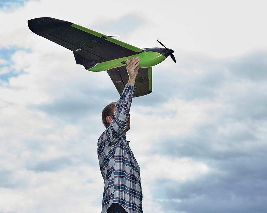
Connect Drones Seamlessly
Connect to the most common DJI and MAVLink drones available and save multiple profiles in the Botlink app to select the right drone for the right job.
Flight Control Reimagined
Experience fully automated takeoffs, landings and everything in-between with the Botlink Capture app. Enjoy the power to fully automate cameras, sensors and even live video to make sure you never miss
a shot.
Flight Planning Made Simple
Choose the type of survey you want and simply drag and drop to create a unique and customizable flight plan. Then save your plans to quickly take to the skies and track your site over time, whenever you want.
Pick Up Right Where You Left Off
You’ve got a big job to do, and we’ll help you do it right. When the area you’re mapping is larger than your drone battery or line-of-site regulations allow, simply land, swap batteries and resume without losing your flight progress.
High-Definition Maps
After capturing imagery, turn your entire site into a single, high-definition orthomosaic image. This means more detailed modeling and map creation, which leads to better project management, a safer worksite and increased efficiency at your job.
Terrain Models
Terrain models are perfect for discovering high and low points of an area and for quickly identifying any potential drainage problems that may arise.
Vegetation Index
Generate NDVI maps with the imagery captured from your drone. Easily detect stressed, diseased and unhealthy crops that the naked eye can’t see. Find clear solutions and take action in minutes, not days
or weeks.
3D Models
Develop incredible 3D maps with Botlink’s mapping software and transform the way you look at data. Zoom in, rotate, analyze terrain from any angle and take accurate volumetric measurements without having to leave your tablet or computer.
Area Measurement
Measuring large areas of land has never been easier. Area flights allow you to cover ground quickly and efficiently and create highly detailed maps.
Annotations and Comments
Effortlessly collaborate on projects by sharing notes and location specific comments and annotations with your colleagues and clients.
Distances
Get accurate distance measurements with just a few clicks of a button right from your desktop or tablet.
Linear Measurement
Map utility lines, roads and rivers with ease. Select the area on your screen and gather precise data to use on demand.
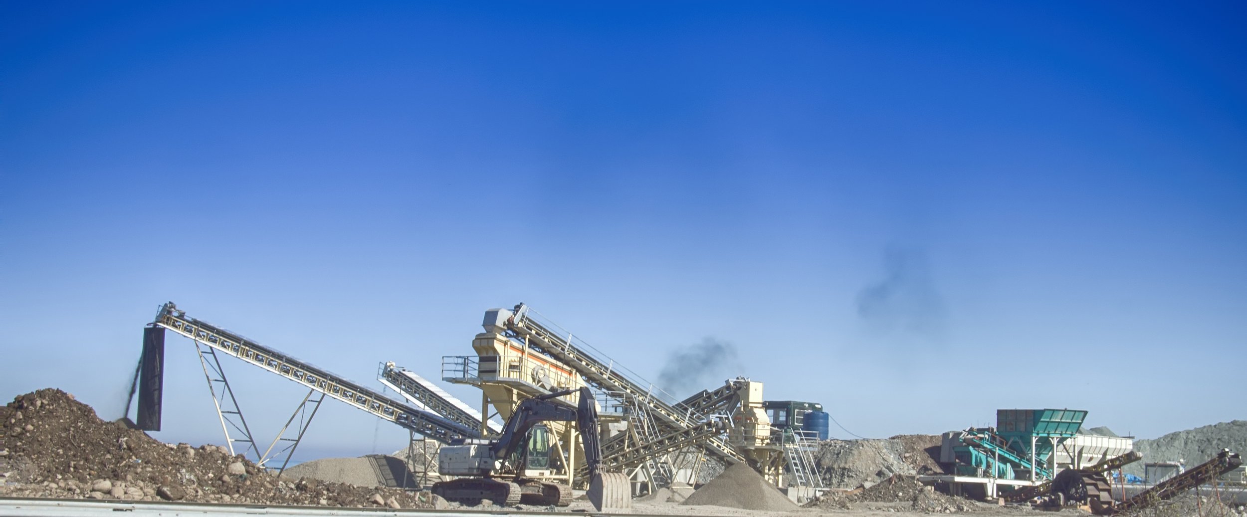
Volumetrics
Discover the calculated area and margin of error on any work site aggregate pile. Find out how valuable the aggregate piles at your work site are and get the data you need within hours, not weeks.
Inventory
Robust inventory management features.
RESPOND
Track Your Projects
Organize your flights in the Botlink app by folder according to location and date for easy accessibility. Keep track of all of your projects over time and access your
maps anywhere there’s an
internet connection.
Integrate With Apps
We make it easy to export your files to the industry standard software that you already use.
Our integrations help streamline your workflow and gain expert insight with tools you’re already familiar with.
Export How You Want
The Botlink app was built to be versatile. Engage with your data in the exact way you want to. Enjoy the freedom to export to a wide variety of file types to analyze maps with ease.
Respond In Less Time
Botlink gives you the ability to respond to changing conditions on the fly. Increase efficiency and productivity on your work site while saving both time and money.
SEE HOW BOTLINK WORKS FOR YOU
Agriculture & Farming
Aggregates & Mining
Botlink Uses Its Automated Drone Flight Software for Integration Pilot Program